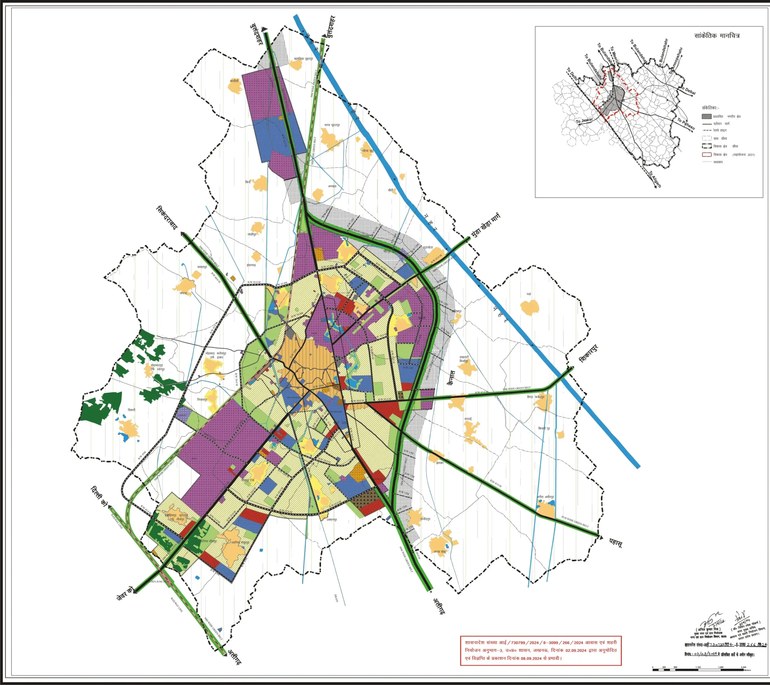
A GIS-based Master Plan for the industrial city of Khurja, known for its ceramics industry. The plan integrates spatial data, existing land use patterns, infrastructure assessment, and industry-specific planning requirements to chart a sustainable development pathway for the city.
Scope of Work
Procurement and georeferencing of satellite imagery
GIS base map preparation and boundary earmarking
Land use and building use surveys
Industry data collection -types, import/export, employment